
|
|
|
|
|
|
|
|
|
NOTICE |
| RFQ SUPPLY AND DELIVERY OF BULK AND RETICULATION ITEMS |
| RFQ SUPPLY AND DELIVERY OF OFFICE CLEANING MATERIAL |
About Us
Executive Summary of the Municipality
Joe Morolong Local Municipality is a category B municipality and classified as one of a B4 municipality in the province. The Municipality is located in the John Taolo Gaetsewe District in the Northern Cape Province, is approximately 20,172km2 and has 183 villages. The total number of Councillors serving in the Municipality is 29, 15 Wards and 14 Proportional Representatives of the Political Parties constiuting the Council. Joe Morolong Municipal Council has 15 wards as per the ward delimitation by Municipal Demarcation Board.
The goal of our municipality is to establish a planning process, which is aimed at the disposal of the imbalances created by the apartheid era. Developmental local government can only be realized through integrated development planning and the compilation of the IDP.
Demographic Profile of the Municipality
Joe Morolong is located in the Northern Cape Province based in the John Taolo Gaetsewe District, on the North Eastern and Western part of the District.
The Municipality is accessible via the National infrastructure through the N14 which links North West and the Northern Cape Provinces.
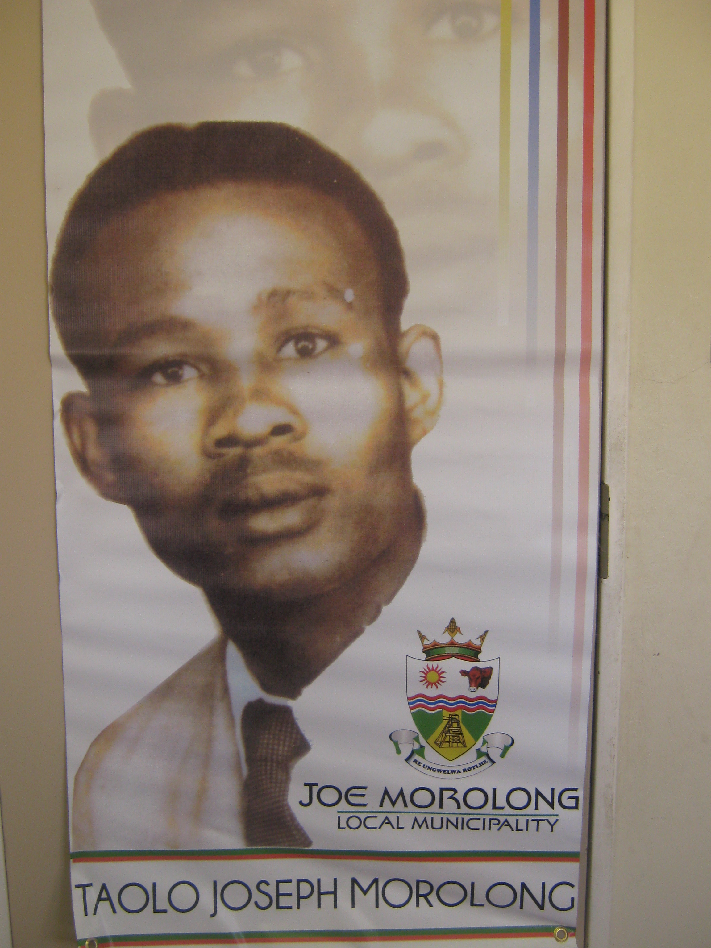
Joe Morolong Local Municipality was established on the 6th December 2000 under the name of "Moshaweng" which is now called Joe Morolong named after Taolo Joseph Morolong who was born at Ditshipeng Village.
- Joe Morolong Local Municipality covers 20 215.0 square kilometers area and covers one semi-urban area, villages and commercial farms.
- There are Tribal authorities in our municipal jurisdiction with eight (8) Paramount Chiefs.
- We have 168 Schools, 4 Police Stations, 24 Clinics and 3 Community Health Centers
- Agriculture, mining and community services are our primary economic sectors
- UMK
- South 32
- Assmang
- Blackrock
- Tshipi-e-Ntle
- Kalagadi
- Kudumane Mining Resources
- Baga Phadima Sand Mining
- Sebilo
- Mokala Manganese
- East Manganese
- Khwara
- Lehating
The following mining houses are found within the jurisdiction of our municipality:
Click Here To View Map
Powers And Functions Of The Municipality
A municipality has the functions and powers assigned to it in terms of Sections 156 and 229 of the Constitution. The functions and powers referred to in subsection(1) must be divided in the case of the municipality and the local municipalities within the area of the District Municipality as set of Chapter 5 of the Municipal Structure Act 117 of 1998
The mandate of the municipality as contained in Section 152 of The Constitution is :
- To provide democratic and accountable government for local communities.
- To ensure the provision of services to communities in a sustainable manner.
- To promote social and economic development.
- To promote a safe and healthy environment.
- To encourage the involvement of communities and community organizations in the matters of local government.
|
Taolo Joseph Morolong |
|
|
|
Quick Links |
|
John Taolo
Gaetsewe District Municipality |
Copyright © 2022 Joe Morolong Local Municipality